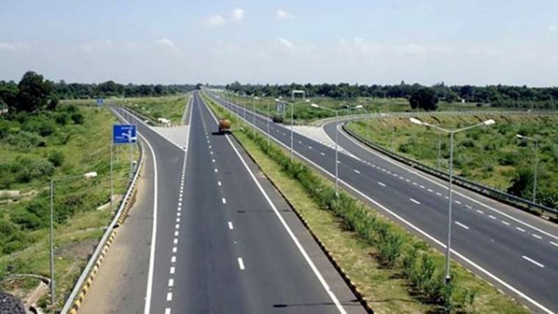
The Center is embarking on a comprehensive initiative to conduct GIS mapping of the entire national highway network, aimed at bolstering the efficiency of road network planning, execution, and supervision. This endeavor is expected to facilitate the timely completion of infrastructure projects by providing accurate and up-to-date data.
Under this initiative, the Ministry of Road Transport and Highways (MoRTH) has directed all project implementing units of key agencies like the National Highways Authority of India (NHAI), Border Roads Organization (BRO), National Highways and Infrastructure Development Corporation Ltd (NHIDCL), and the ministry itself to complete the marking of their respective jurisdictions on the national highways dashboard by the end of May. This will enable the compilation of comprehensive GIS data, including the delineation of jurisdictional boundaries, for future reference and expedited decision-making.
The primary objective of this standard operating procedure (SOP) is to streamline GIS-based data collection for all national highways across India. The SOP outlines clear responsibilities for each highway segment, employs GIS-based mapping for network definition and data visualization, implements a verification process to ensure data accuracy, and utilizes the collected data for communication and planning purposes related to the highway system.
Furthermore, the SOP aims to enhance transparency by providing accurate information and improving communication flow through standardized data collection processes.
Given the ambitious target of achieving highway construction of 50 km per day, the adoption of GIS technology is expected to greatly assist road construction agencies by providing detailed information on alignments and potential obstacles along highway routes.
According to a MoRTH official, the completion of GIS mapping for the entire national highway network is crucial for effective planning, execution, and monitoring. The ministry is working diligently to involve all relevant agencies in updating and verifying the mapping work, which has already been initiated by the appropriate authorities.
GIS mapping offers agencies valuable tools for developing resilient infrastructure and facilitating strategic repairs and upgrades to existing networks. By providing detailed visual representations of infrastructure facilities, including location, topography, and structures, GIS maps simplify the process of road construction and network finalization.